Map of the Province of Layda of the ICSR, Present-day
Article Written: 1451 April 11
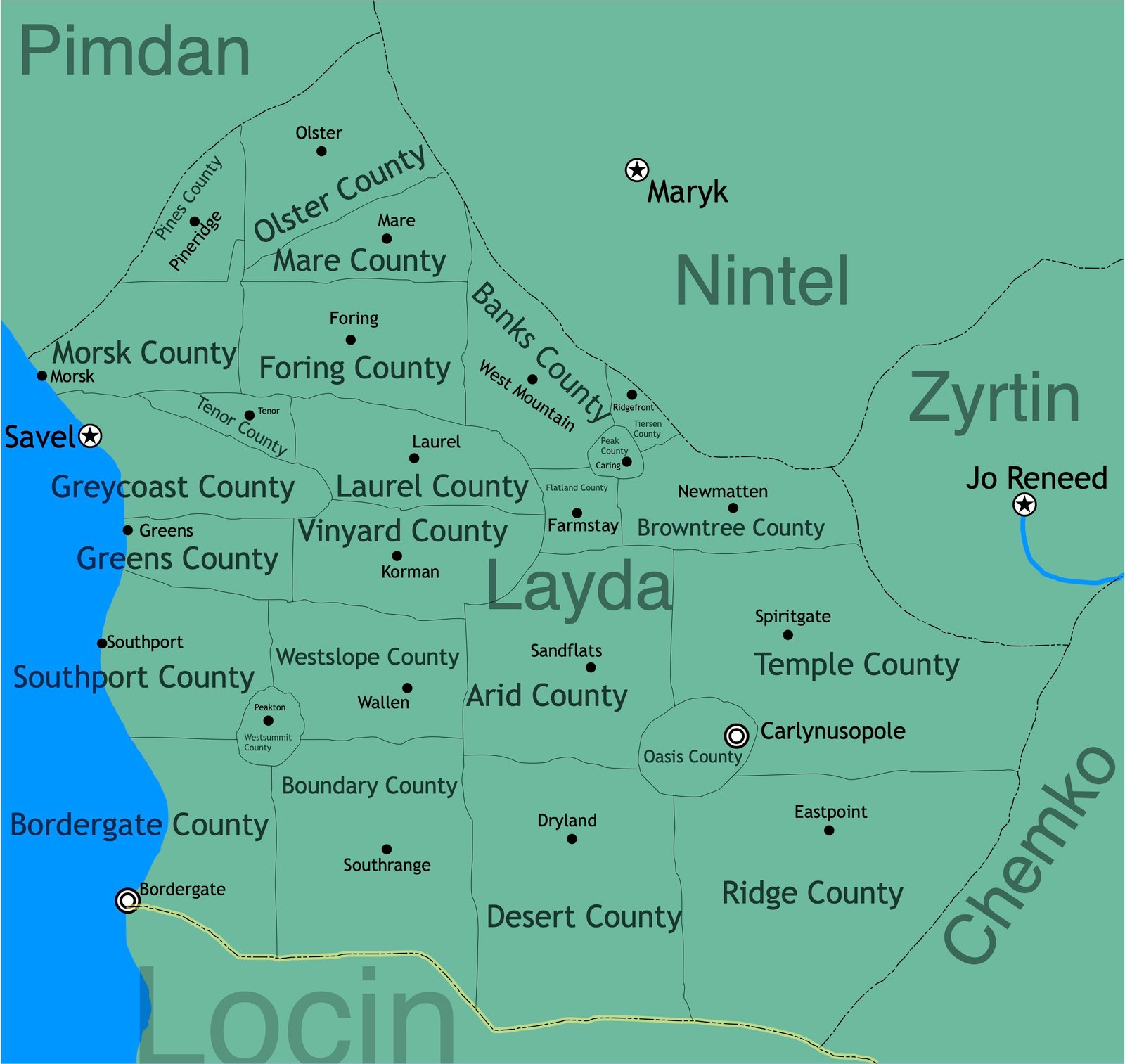
Bordergate is a large metropolitan city straddling the border between Locin and the Independent Commonwealth State of Retun, joined at the border, itself, by a large bridge similar to the structure of Bridgetown. And although the urban landscape is modern in character, the area is home to a structure dating back to the pre-Ashen years.
The Temple of Bordergate
Three small rivers flow from East-to-West down through a steep valley, where they join in an outpour off the West Coast into the Magnumarian Ocean. Right at this junction stands a stone Disc lined by three Archways forming a Triangle over the Disc. The base of the Triangle stands facing Northeast while the Tip of the Triangle faces to the Southwest. At the junction of the two main Archways at the Tip stands a smaller archway under which the river passes and empties over a tall, narrow waterfall into the Magnumarian Ocean.
This place is a source of immense mystery not only because of its still-living garden lining the floor of the Disc and the speculation that the structure may have had some sort of a roof structure, but also because every stone surface of the site is covered by small writing in a mysterious language. Scholars in the present-day are no closer to discovering the meaning of the writings than they were when the structure was first rediscovered by Combrian settlers. And no scholar knew the reason the Tip of the Triangle pointed Southwest until the discovery of Ancondria in the late 1260s and the realization that the Tip was pointing precisely in the direction of the central district of the ancient city of Edom.
However, that latter discovery only deepened the mystery, for the direction of the Tip was extremely precise, proven to be within only a few feet accordingly to thousands of geometric measurements but the reason and purpose for this is still unknown.
A Brief History
The valley surrounding the Temple of the Bordergate was originally covered in lush meadows and forests. It was for this reason that the first Combrian settlers to the region in the early 1200s named it the Valley of Life, for its landscape contrasted deeply with the arid, desert regions surrounding it to the North, South, and East.
Over the next thirty years, chartered entrepreneurs from Combria came and felled the lush forests, converting them and the surrounding meadows into commercial vineyards and cash crops. This prompted backlash from the local population, who eventually united and drove out the Combrians from the area and the entire region in 1235, marking the greater region as the independent nation of Savel. The Savelian government attempted to restore the original landscape by uprooting the crops and vineyards and replanting the trees and grasses. This proved successful until 1246, when, after Savel having been acquired by the Republic of Retun three years previously, Retunian entrepreneurs came and redeveloped the valley into real estate plots. Such zoning exploded in the 1260s with then-Prime-Minister Jackson's free enterprise expansion policies.
A break in such growth came when abrasion had emerged between Locin and the Federal Estates of Retun in the mid-1260s in response to Jackson's decision to invade and drive out indigenous populations from the Chemkan region to the East. A fragile non-abrasion settlement was signed between the two nations in the summer of 1267, part of which handed the part of the Valley of Life South of the River to the nation of Locin. Immediately, the Locinian government demolished the standing real estate plots in that section and replanted the original landscape.
After the Revolution and the re-establishment of the Republic as the Independent Commonwealth State of Retun in 1309, then-Prime-Minister Finzi began a series of reforms in an attempt to transform the Northern side of the Valley back to its original landscape. However, progress on that did not begin gaining true momentum until Megan Wen became Prime Minister in 1375. Wen's policies were temporarily curtailed by former-Prime-Ministers Kontacet and Silonk while the next Prime Minister, Stanley Moore, failed to remove the compromises. Finally, in 1429, Prime Minister Mary Ann Heits signed legislation to permanently remove the compromises, restoring Wen's policies. Presently, the original landscape is almost entirely restored, with exception being to the immediate metropolitan area straddling the border lining the coast. That area, however, is expanding along the coast and not into the Valley.